
Editor's note: Innovators hailing from both Rice University and University of Houston made headlines in August by developing a new biomaterial that could replace plastic and deploying a new flood scale to help Houstonians stay safe. Plus, one local innovator has a big move on the horizon.
Here are five Houston innovators to know right now.
M.A.S.R. Saadi and Muhammed Maksud Rahman, Rice University and University of Houston
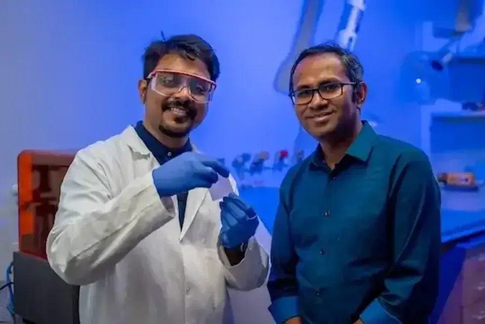
A team led by M.A.S.R. Saadi and Muhammad Maksud Rahman has developed a biomaterial that they hope could be used for the “next disposable water bottle." Photo courtesy Rice University.
Collaborators from two Houston universities are leading the way in engineering a biomaterial into a scalable, multifunctional material that could potentially replace plastic. The research was led by Muhammad Maksud Rahman, an assistant professor of mechanical and aerospace engineering at the University of Houston and an adjunct assistant professor of materials science and nanoengineering at Rice University. M.A.S.R. Saadi, a materials science and nanoengineering doctoral student at Rice University, was first author on the study. The study introduced a biosynthesis technique that aligns bacterial cellulose fibers in real-time, which resulted in robust biopolymer sheets with “exceptional mechanical properties,” according to the researchers. Learn more.
Paul Cherukuri, Rice University
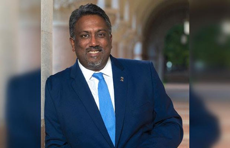
Paul Cherukuri, Rice’s first vice president for innovation and chief innovation officer, will leave his post next month. Photo via Rice.edu
Paul Cherukuri, Rice University's top innovation executive, responsible for some of Rice’s major innovative projects like the Rice BioTech LaunchPad and Rice Nexus, will leave the university at the end of September to accept a position at the University of Virginia. Cherukuri, Rice’s first vice president for innovation and chief innovation officer, will become the University of Virginia’s Donna and Richard Tadler University Professor of Entrepreneurship and the school's first chief innovation officer. Learn more.
Steven Paul Woods (pictured) and Natalie C. Ridgely, University of Houston
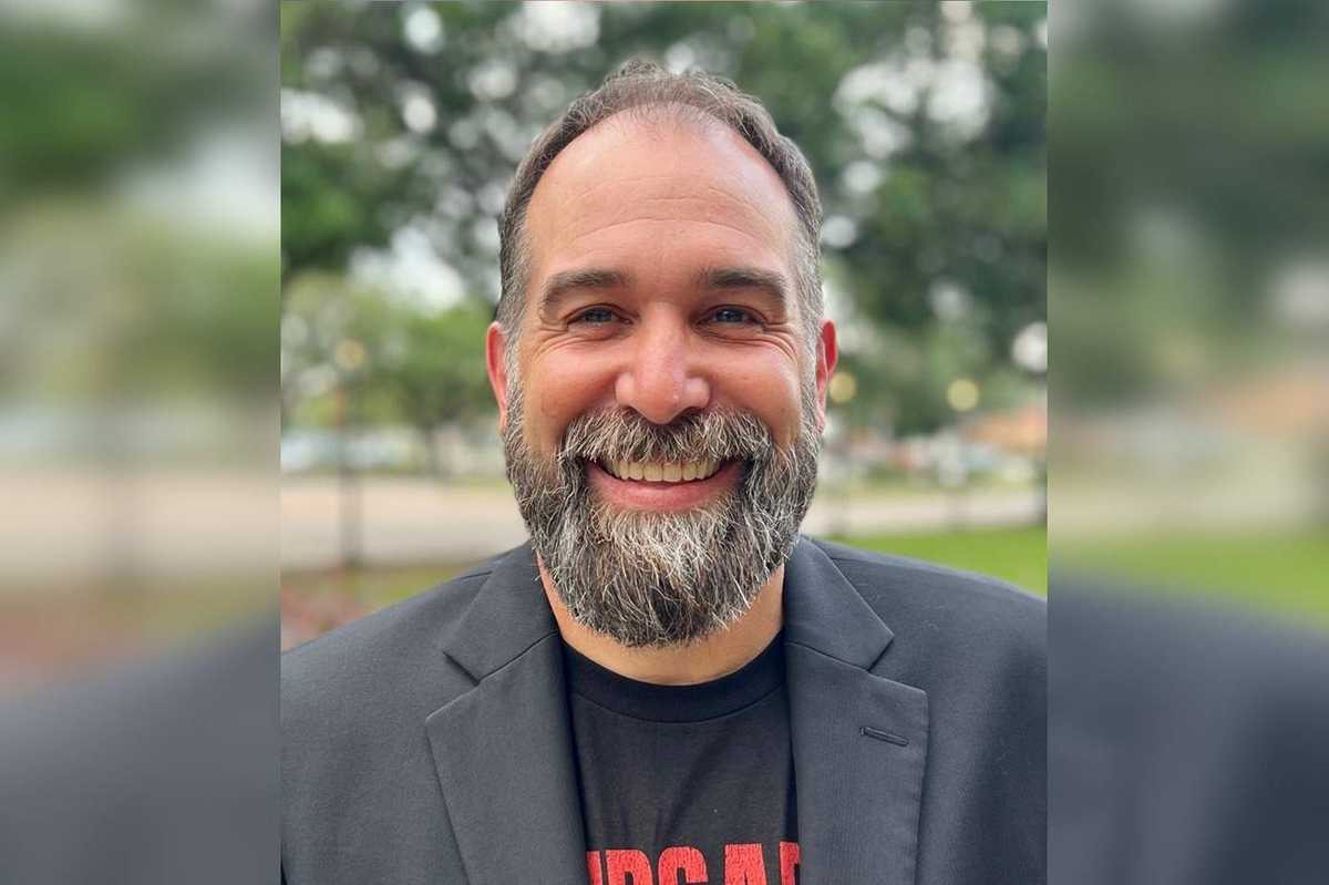
Steven Paul Woods, professor of Psychology, at UH. Photo courtesy of UH
University of Houston Professor of Psychology Steven Paul Woods and doctoral student Natalie C. Ridgely recently partnered with the Space City Weather (SCW) blog to create a new flood alert scale for the trusted weather site. “My lab does work on how people access, understand, and use health information, so I thought we could adapt some of that ongoing work and our expertise in psychological science to answer questions about weather communication, and help keep Houstonians informed and safe,” said Woods. Learn more.